
Flores Road Trip: Trans-Flores Highway Planner
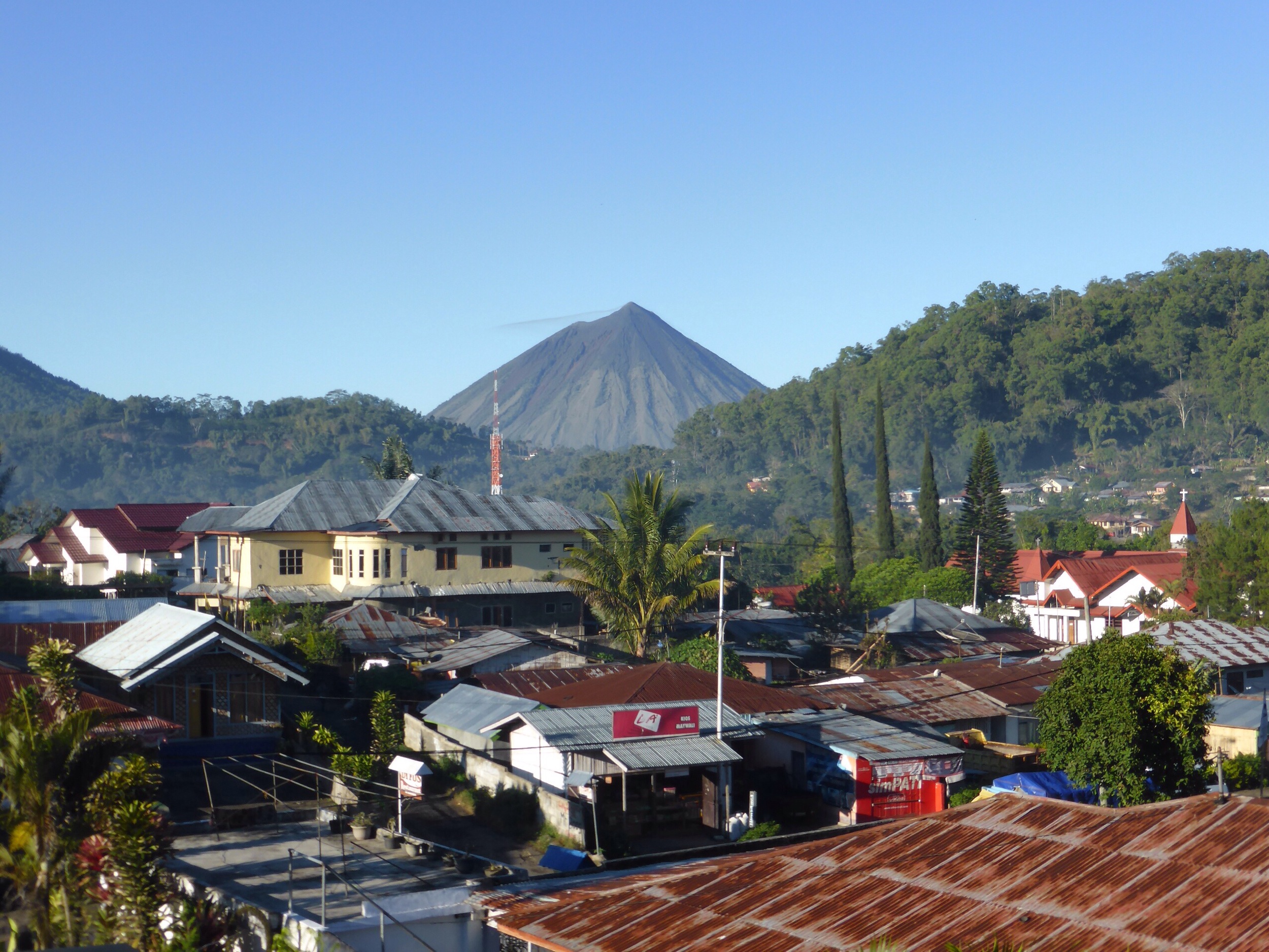
A Flores road trip along the Trans-Flores Highway covers 437 kilometres of driving between Labuan Bajo and the Kelimutu crater lakes, and most travellers need four to six days to do it comfortably. The highway is sealed for its full length as of 2026, but it is slow, winding mountain driving — realistic average speeds are 30–40 km/h, not open-road pace. This planner focuses on the logistics: current road conditions, the honest self-drive versus hired-car comparison, fuel and police checkpoints, and the photo stops worth structuring your days around.
How Many Days Do You Need for a Flores Road Trip?
Four days is the practical minimum for the classic west-to-east route; five or six days is far more enjoyable. The standard overland corridor runs Labuan Bajo → Ruteng (with the Wae Rebo side trip) → Bajawa → Ende → Moni for the Kelimutu sunrise. Here is how the driving actually breaks down:
| Segment | Distance (approx.) | Driving time |
|---|---|---|
| Labuan Bajo → Ruteng | 135 km | 4–5 hours |
| Ruteng → Bajawa | 130 km | 4–5 hours |
| Bajawa → Ende | 120 km | 4–5 hours |
| Ende → Moni (Kelimutu) | 52 km | 1.5–2 hours |
Two timing notes matter more than anything else. First, the Wae Rebo side trip is a full day on its own: the drive from Ruteng to the trailhead at Denge takes about 2.5 to 3 hours on narrow village roads, followed by a guided uphill trek of roughly three to four hours to reach the UNESCO-recognized traditional village. Many travellers overnight in Wae Rebo itself, which is the better experience. Second, Kelimutu is a sunrise site — you sleep in Moni the night before and drive up in the dark, so the crater lakes always add a morning, not just a stop.
What Are Trans-Flores Highway Road Conditions Like in 2026?
As of 2026, the main Trans-Flores Highway is asphalt the whole way, and condition on the primary corridor is generally good. What catches drivers out is the geometry, not the surface: the road climbs and descends constantly, with hairpin switchbacks, single-lane bridges, and long sections where overtaking a slow truck is impossible for kilometres at a time. That is why the 135 km to Ruteng takes four hours or more.
Expect the following on any given day: sections of patched or broken asphalt after rain, occasional landslide debris in the wet season (December–March), free-roaming dogs, chickens, and goats in every village, and local buses that stop without warning. Side roads — including the approaches to Wae Rebo, Bena traditional village, and several viewpoints — are narrower, steeper, and rougher than the main highway. Night driving is genuinely inadvisable: there is little to no street lighting outside towns, and unlit motorbikes and roadworks appear out of nowhere. Plan every driving day to end before dark, which in Flores means arriving by around 6:00 pm.
Self-Drive or Car with Driver: Which Is Realistic?
Searches for a Flores self-drive itinerary have grown, so here is the honest reality check. Self-driving Flores is possible but meaningfully harder than self-driving Bali. Rental cars without a driver are scarce on the island — the local market is built almost entirely around car-plus-driver hire. If you do self-drive, you legally need a valid licence from home plus an International Driving Permit, and you should be comfortable with mountain switchbacks, ad-hoc local overtaking habits, and navigating villages where signage is minimal and Google Maps time estimates are optimistic.
Motorbike touring is popular with experienced riders, and the Trans-Flores is a spectacular ride — but it is a demanding one: long days, sudden rain over the passes even in dry season, and limited mechanical support between towns. If you have never toured on a motorbike before, Flores is not the place to learn.
A car with a local driver solves most of this at once. Your driver handles the checkpoints, knows which warungs are worth stopping at, reads the road and weather, and — crucially — lets you actually look at the scenery you came for. Indicative cost for a private car with an English-speaking driver, fuel included, is IDR 700,000–1,500,000 per day — depending on vehicle class and route; treat that as a planning figure rather than a quote, since rates vary. See the Flores private driver service for how this is structured, or the full overland package that covers this route if you would rather have accommodation, guides, and Wae Rebo permits arranged in one booking.
Where Do You Refuel, and What About Police Checks?
Fuel
Official Pertamina stations (SPBU) exist in every main town on the route — Labuan Bajo, Ruteng, Bajawa, Ende, and Maumere — but the gaps between them are long. The working rule: refuel in every town you pass through, even at half a tank. Between towns, roadside stalls sell petrol from bottles at a markup; fine for topping up a motorbike, less ideal as a primary plan for a car. Queues at official stations can be long in the morning, so drivers often fill up the evening before a big driving day.
Police checkpoints
Occasional police checks operate on the Trans-Flores Highway, usually near town entrances. They are routine document checks, not something to worry about if your paperwork is in order: carry your passport, licence and IDP, and the vehicle registration papers from your rental. Foreigners riding without an IDP are the most common issue at these stops. With a hired driver, checkpoints are typically a ten-second wave-through.
Cash and connectivity
ATMs are reliable in Labuan Bajo, Ruteng, Bajawa, and Ende, and scarce everywhere in between — Moni has limited options, and Wae Rebo has none. Carry enough rupiah for two days of meals, entrance fees, and fuel. Mobile signal (Telkomsel has the widest coverage) drops out on many mountain stretches, so download offline maps before you leave Labuan Bajo.
What Are the Best Photo Stops on the Trans-Flores Highway?
Build your driving days around these, in west-to-east order:
- Cancar spider-web rice fields — just west of Ruteng; the circular lingko fields are best photographed from the hilltop viewpoint in morning light.
- Wae Rebo — the cone-shaped houses in a mountain amphitheatre; worth the trek and the overnight for dawn mist alone.
- Ranamese Lake — a quick roadside stop east of Ruteng, a crater lake ringed by forest.
- Aimere coast — the highway drops to the sea between Bajawa and Ende, with black-sand beaches and views toward Inerie volcano.
- Bena traditional village — megalithic Ngada architecture beneath Inerie, a short detour south of Bajawa.
- Penggajawa blue-stone beach — west of Ende, where villagers gather naturally blue-green pebbles along the shore.
- Kelimutu crater lakes — the finale: three lakes in distinct colours, seen at sunrise from the summit viewpoint above Moni.
Should You Drive One-Way or Return?
One-way, almost always. Flores has commercial airports at both ends of the classic route — Labuan Bajo (LBJ) in the west and Ende in the east — so the smart play is to drive west-to-east and fly out of Ende, or reverse it, rather than backtracking the 385 km between Labuan Bajo and Ende. One-way drop-off is standard practice for car-with-driver arrangements here. Timing-wise, the dry season from April to November is the best window for a Flores road trip: mountain roads are at their most predictable, Kelimutu sunrises are clearest, and the Wae Rebo trail is far more pleasant. The route is driveable year-round, but wet-season travellers should build slack into the schedule for rain delays and possible landslide clearances.
Plan Your Flores Road Trip End to End
The Trans-Flores driving plan above is free to act on yourself, and Komodo Luxury’s Labuan Bajo tour desk exists for the trips where you would rather not.
Beyond the Trans-Flores driving plan above, the practical question is availability, and that is only answerable at Komodo boat charter classes. The higher-specification hulls appear at VIP boat charter — worth a look once the Trans-Flores driving plan above is settled. A step up from the entry boats without the flagship rate is deluxe boat charter. Most Trans-Flores drives finish at Labuan Bajo with two or three nights left over, which is the length a mid-tier phinisi is built for: more cabin comfort than a standard day boat, without a flagship price. That middle grade is described on the deluxe boat charter page.
Essential Trip Planning: Itinerary Structure and Checklist for Flores Road Trips
First-time visitors searching for a reliable Flores island travel planner checklist should begin by mapping out their route in detail. The classic trans-Flores overland trip follows a west-to-east link from Labuan Bajo to Moni, with optional detours to Wae Rebo, Bena, or Riung. Careful itinerary building is vital: journey times are dictated by mountain roads, not distances, so a realistic Flores best road trip itinerary prioritises two to three bases (Ruteng, Bajawa, Ende/Moni) and leaves buffer for rest stops or delays. A Flores road trip itinerary for 1 week allows time for photo detours, a Wae Rebo overnight, and half-days exploring hot springs or traditional villages. For those tight on time, four days is the minimum, but six or seven days guarantees a more relaxed pace and richer experience.
Specific road conditions on Flores Island mean you must check local sources for the latest updates before setting out—landslides or repairs can redirect traffic for hours or close side routes. No guide can predict a landslide or a ferry that does not sail, which is why the schedule needs slack in it. Include in your Flores trip planning guide a list of petrol station locations, offline map downloads, and daily estimated travel times. Mobile coverage is inconsistent in remote stretches; plan accommodation and fuel stops in advance, not on the fly.
For those torn between overland and boat options, a Flores liveaboard trip planner is quite different—sailing routes focus on islands and snorkelling, not the culture-rich villages and volcanic landscapes of inland Flores. Overland travel showcases the heart of the island and gives access to highland attractions, while liveaboards serve Komodo or Alor. Combine both only if you have ten days or more.
Ultimately, planning a Flores road trip comes down to this: set your schedule around the island’s geography, embrace slow travel, and follow a detailed Flores island road trip itinerary. Download offline navigation, confirm your refuelling points, and be honest about your driver confidence for mountain switchbacks. This is the practical approach to seeing Flores properly.
Frequently Asked Questions
How do I travel the Trans-Flores Highway?
Drive or hire a car with driver for the full route between Labuan Bajo and Ende or Moni. The highway is sealed, but expect slow travel: the 437 km journey takes 4–6 days due to mountain roads and frequent switchbacks. Overland public buses connect major towns, but are infrequent and basic.
Can I do a Trans Flores overland trip?
Yes, independent travellers can plan and complete a trans-Flores overland trip. You need to organise transport, book accommodation ahead in the high season (June–September), and be prepared for winding roads. Most complete the crossing in 4–7 days, with key stops at Ruteng, Bajawa, and Moni.
What is the Flores road trip itinerary for 1 week?
A 1-week Flores road trip itinerary typically follows Labuan Bajo → Wae Rebo → Ruteng → Bajawa → Ende → Moni (Kelimutu). With seven days, you can include an overnight trek to Wae Rebo and explore detours like Bena village or Soa hot springs, without rushing between towns.
Is a Flores island travel planner checklist necessary?
A checklist is essential. Key items: book accommodation ahead (especially near Kelimutu), download offline maps, note all petrol stops, and pack a rain jacket for mountain weather. Include a basic first-aid kit, torch, and extra phone power bank, as small towns have limited supplies and patchy connectivity.
The Trans-Flores Highway rewards travellers who respect its pace: short driving days, early starts, and a route built around Wae Rebo and the Kelimutu sunrise rather than squeezed around them. If you would rather keep the adventure and hand off the logistics, Komodo Luxury books the whole journey — private car and driver, accommodation, Wae Rebo trek, Kelimutu sunrise, and an onward Komodo boat trip from Labuan Bajo — under one reference number. It is the licensed operator in the same group as this guide, working the Trans-Flores road since 2015. Message Komodo Luxury on WhatsApp at +62 811-3810-8110 or email sales@komodoluxury.com with your dates, and Komodo Luxury maps the drive around them.
Keep reading
More from the journal
-
Overland Route
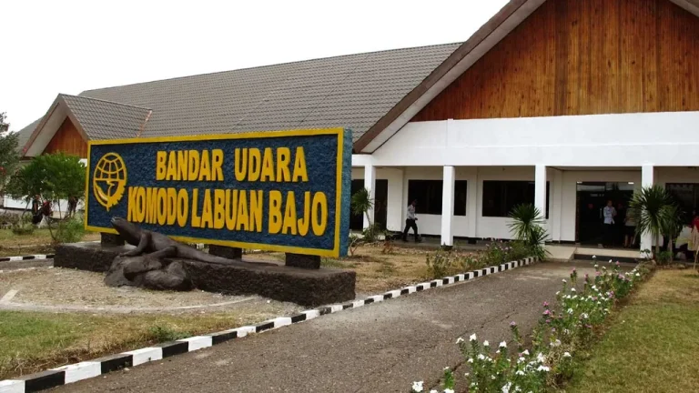
Komodo Airport (LBJ) Arrival Guide
Komodo Airport (IATA: LBJ, officially Komodo International Airport) sits about 2–4 km from Labuan Bajo harbour, a 10–15 minute drive.…
11 min Read -
Overland Route
Maumere Travel Guide: East Flores Gateway
Maumere, capital of Sikka Regency in east Flores, is served by Frans Xavier Seda Airport (MOF) with flights to Kupang,…
10 min Read -
Overland Route
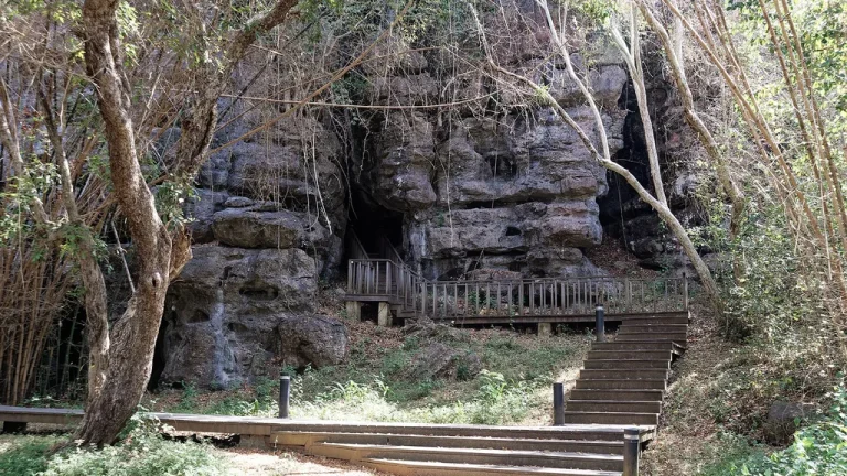
Batu Cermin Cave in Labuan Bajo
Batu Cermin ("Mirror Rock") is a limestone cave about 3–4 km from Labuan Bajo, formed from an ancient coral reef…
10 min Read