
Flores Map: Distances and Driving Times
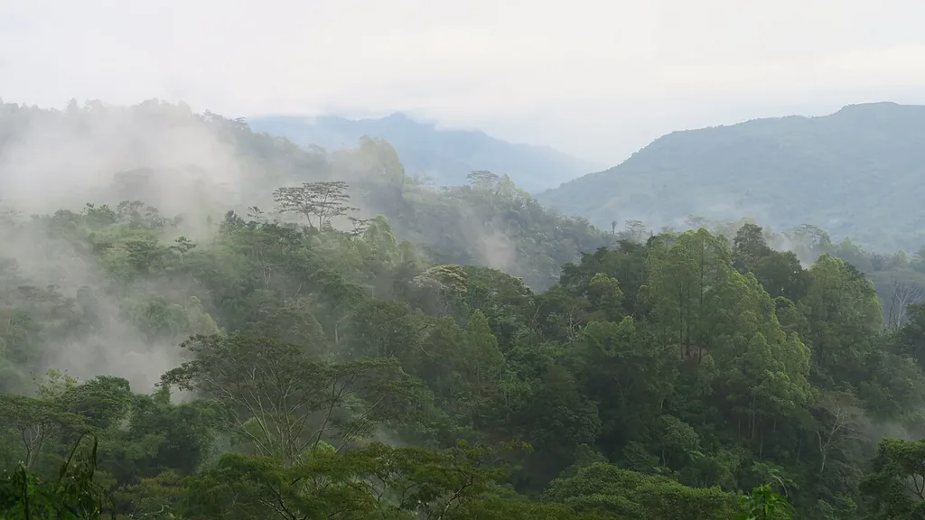
Flores stretches 354 km east to west, but distance alone is a poor guide to travel time here — the Trans-Flores highway is narrow and mountainous, and a 100km leg can take three to four hours. The driving-time ranges below reflect what local drivers and tour operators typically report for each leg in dry-season conditions; they are indicative planning figures, not an official survey measurement, and wet-season or landslide conditions can add significant time.
Where Is Flores, and How Is It Laid Out?
Flores sits in Indonesia’s East Nusa Tenggara (NTT) province, part of the Lesser Sunda Islands chain, east of Sumbawa and west of the Solor and Alor archipelago, with Komodo National Park off its western tip between Flores and Sumbawa. The island runs roughly east-west, and its main towns — Labuan Bajo, Ruteng, Bajawa, Ende, Moni and Maumere — line up in that same west-to-east order along the single Trans-Flores highway, which is effectively the island’s only through-road; there is no coastal highway alternative or rail option.
Flores Overland Route: Typical Driving Times by Leg
| Route leg | Road distance | Typical driving time (dry season, private car) |
|---|---|---|
| Labuan Bajo → Ruteng | 135 km | 4–5 hours |
| Ruteng → Bajawa | 130 km | 4–5 hours (mountainous, winding) |
| Bajawa → Ende | 120 km | 4–5 hours |
| Ende → Moni | 52 km | 1.5–2 hours |
| Moni → Maumere | 95 km | 3–4 hours |
| Labuan Bajo → Maumere (whole route) | 532 km | 16.5–21 hours of driving, spread over 5–7 days |
| Labuan Bajo → Ende (direct, no overnight stops) | 385 km | 12–15 hours — not recommended as a single day’s drive |
These figures assume a private car with a driver who knows the route, dry-season road conditions, and a reasonable number of photo/rest stops — not a nonstop drive. Wet-season travel, landslide damage, roadworks, or a heavier stop schedule can extend any of these legs meaningfully; see our Flores weather guide for the seasonal pattern that affects road conditions most. For the full route logic and why most itineraries break the drive into these specific overnight stops, see the Flores overland tour package page.
How Far Is Flores From Bali and Raja Ampat?
By air, Labuan Bajo is about a 1 hour 15 minute direct flight from Denpasar (Bali) on regular commercial routes — flying is how the large majority of travelers reach Flores rather than the multi-day ferry and overland options. Raja Ampat, in West Papua, is a materially longer journey requiring flights via Jakarta or Sorong and is not a same-region day-trip from Flores despite both being popular Indonesian dive destinations — travelers combining both regions typically treat them as two separate trip legs with their own flight connections, sometimes on the same overall itinerary. See Raja Ampat yacht charter if you’re planning to combine both.
What Is the Best Route for a Flores Road Trip?
Almost every overland Flores itinerary runs west to east (Labuan Bajo → Maumere) or the reverse, following the single Trans-Flores highway, since there is no alternate through-route. The most common overnight-stop pattern breaks the drive at Ruteng or Bajawa (both usable for the Wae Rebo and Ngada village stops respectively), Ende or Moni (for Kelimutu access), before continuing to Maumere. Trying to compress this into fewer overnight stops than the driving times above allow is the most common overland-planning mistake — arriving after dark on unfamiliar mountain roads is both less safe and means missing the scenery the drive is largely for.
How Do I Get from Komodo National Park to Labuan Bajo?
Komodo National Park’s main islands (Komodo, Rinca, Padar) are reached by boat directly from Labuan Bajo’s harbor, not by road — there is no land route, since the park sits on separate islands west of Flores’ mainland. Boat transit times to the park’s core sites vary by which islands and dive sites are on your itinerary and by boat speed, generally running from under an hour to a few hours one-way depending on the specific site.
How Do Side Trips (Wae Rebo, Bena) Add to the Core Route?
Wae Rebo is not directly on the Trans-Flores highway — reaching it requires a detour off the main road to a trailhead, followed by a multi-hour uphill trek on foot, meaning a Wae Rebo stop typically adds most of a full day to a Labuan Bajo–Ruteng–Bajawa itinerary rather than a short detour. Bena and other Ngada villages near Bajawa are more directly accessible by vehicle with a shorter walk, adding a few hours rather than a full day. Both are worth building into your schedule deliberately rather than treating as a quick add-on to an already tight driving day.
Does GPS Navigation Work Reliably Across Flores?
Mobile signal and GPS navigation apps generally work in and around main towns but become less reliable in mountainous stretches between them, where signal can drop for extended periods — this matters less if you’re traveling with a local driver who knows the route already, and matters considerably more if you are self-driving without a phone signal to fall back on. Downloading offline maps before setting out on any overland leg is a sensible precaution regardless of whether you expect to need them.
How Should Distance Affect Your Itinerary Planning?
The core planning mistake this page exists to prevent is treating Flores like a place where kilometers translate to familiar highway driving speeds — a 130km mountain leg here can take as long as 300km would on a flat, well-paved road elsewhere. Build your day-by-day plan around the driving-time table above rather than a straight-line map distance, and always add buffer time in wet-season months rather than assuming dry-season times apply year-round.
This site is published by Flores Island Travel, part of Juara Holding Group, which has run travel operations from Bali since 2015 — context worth having when you read the distance and drive-time table above.
Komodo National Park’s islands are reached by boat from Labuan Bajo harbor, with transit times to specific sites generally running from under an hour to a few hours depending on which island or dive site is on your itinerary and the boat’s speed — there is no fixed single “distance” figure since routes and vessels vary.
Can I drive the whole Trans-Flores highway in one day?
Technically possible on paper by adding up driving hours, but not realistic or advisable — a full Labuan Bajo to Maumere drive without overnight stops runs 16.5–21 hours of actual driving on a mountainous road, arriving in unfamiliar terrain after dark. Every overland itinerary we would recommend breaks this into multiple days with overnight stops.
Is there a faster way across Flores than driving?
Domestic flights connect some Flores towns (Labuan Bajo, Ende, Maumere all have airports), which can shortcut a long overland leg if your itinerary allows flying one direction and driving the other. Flight frequency and schedule reliability on these routes should be checked directly with the airline given how infrequently some routes operate.
How accurate are these driving-time estimates?
They reflect what local drivers and tour operators typically report for dry-season conditions and are meant as planning guidance, not a guaranteed timing — actual time depends on your specific vehicle, driver, number of stops, and current road conditions, which is why we recommend confirming realistic timing with your own driver before finalizing a tight schedule.
How Does Elevation Affect the Overland Route?
Much of the Trans-Flores highway climbs and descends through highland terrain rather than following flat coastal ground — Bajawa and Ruteng both sit at meaningful elevation in cooler highland settings, which is part of why driving speeds are slower than a similar distance on lowland roads and why nights in these towns run noticeably cooler than in coastal Labuan Bajo. This elevation change is worth packing for (a light layer for highland evenings) as much as it’s worth planning around for driving time.
What Should You Ask Your Driver About Route and Timing?
A good private driver will tell you realistic timing for your specific route and current conditions rather than reciting a generic figure — ask directly about any known road issues on your planned route, how many stops they’d recommend for photos or rest, and whether your planned schedule leaves comfortable daylight margin for arrival. Drivers who cover this route regularly generally have more current, accurate route knowledge than any published estimate, including the table above.
Plan Your Flores Route
Komodo Luxury builds overland routes around realistic driving times rather than an itinerary that looks good on paper but requires arriving after dark. See the Trans-Flores overland package or message Komodo Luxury with your available days and they will suggest a route that actually fits.
Last updated: August 26, 2026. Driving times are indicative, based on typical dry-season reports from local drivers and operators — confirm current conditions before finalizing a tight schedule.
The distance and drive-time table above is planning work. A trip gets reserved at Labuan Bajo tour options. Planning stops here. The booking is made at private trip packages, or at Komodo boat charter classes if a different format suits you better.
Comparing Digital and Paper Maps for Flores Island Travel
Most travellers rely on a digital map to navigate the Trans-Flores highway and its main towns. Apps like Google Maps provide a reasonable overview, but coverage can be inconsistent in interior regions, and route suggestions sometimes overlook recent landslides or local reroutes. Downloading offline maps before arrival is strongly recommended—mobile data is patchy outside towns, and not every accommodation is marked with full accuracy.
An accommodation map can help you visualise distances between guesthouses, eco-lodges, and hotels along the main route. While larger properties in Labuan Bajo, Ruteng, Bajawa, and Maumere are reliably listed on major platforms, village stays and family-run homestays—especially in areas like Wae Rebo or Bena—are often missing or mislocated. Local tourism offices and guides in each town may offer printed maps or know up-to-date locations not reflected online.
Paper maps issued by regional tourism boards remain useful for cross-checking routes and spotting petrol stations or rest points not shown digitally. These can be found in larger hotels, airport kiosks, or through drivers. However, they rarely show elevation changes or current road closures—both critical for overland travel times. It’s wise to reconcile all sources: use a digital map for turn-by-turn navigation, but keep a paper backup and ask locals for recent changes.
Ultimately, no single map type covers everything. Use the apps, carry a printed map, and ask locally. That combination protects the Labuan Bajo to Maumere run better than any one of them alone, and it matters most on the side trips, where signage and mobile coverage both thin out fast.
More Questions Answered
Is driving on Flores Island difficult?
Yes, driving on Flores Island is challenging for most visitors. Roads are often narrow, winding, and traverse mountainous terrain, especially between Ruteng and Bajawa. Overtaking slow vehicles can be risky, and landslides or roadworks are common in the rainy season (December–March). Hiring a local driver familiar with these conditions is strongly advised for safety and comfort.
What is a Flores Island travel map?
A Flores Island travel map is a visual guide to the island’s geography, main roads, and towns. It typically highlights the Trans-Flores highway running from Labuan Bajo to Maumere, as well as notable sites such as Kelimutu, Komodo National Park, and traditional villages. These maps help plan routes and identify distances between overnight stops.
Can I find a Flores Island accommodation map?
Yes, a Flores Island accommodation map is available on some tourism websites and at airport kiosks in Labuan Bajo and Maumere. These maps show the locations of hotels, guesthouses, and homestays along the main overland route. Not all smaller or rural properties appear, so supplement with local advice once you arrive.
Is GPS mapping reliable for Flores Island driving?
GPS mapping works for most of the Trans-Flores highway and major towns, but signal loss is common in the highlands and rural areas. Download offline maps before your trip, as mobile data is limited outside of Labuan Bajo, Ruteng, Ende, and Maumere. Always confirm key stops and accommodation locations ahead of time.
WhatsApp +62 811-3810-8110 or email sales@komodoluxury.com.
Keep reading
More from the journal
-
Overland Route
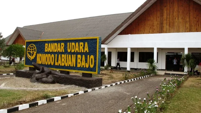
Komodo Airport (LBJ) Arrival Guide
Komodo Airport (IATA: LBJ, officially Komodo International Airport) sits about 2–4 km from Labuan Bajo harbour, a 10–15 minute drive.…
11 min Read -
Overland Route
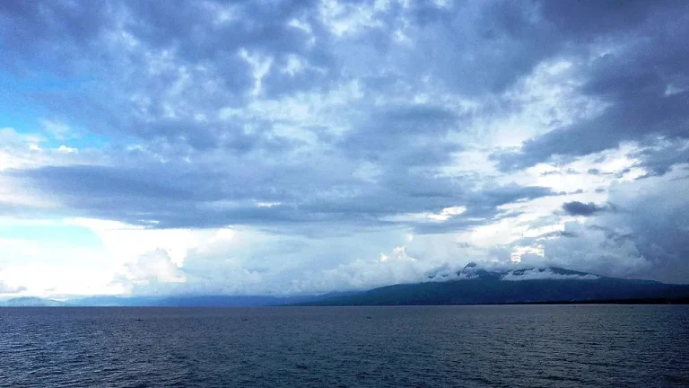
Maumere Travel Guide: East Flores Gateway
Maumere, capital of Sikka Regency in east Flores, is served by Frans Xavier Seda Airport (MOF) with flights to Kupang,…
10 min Read -
Overland Route
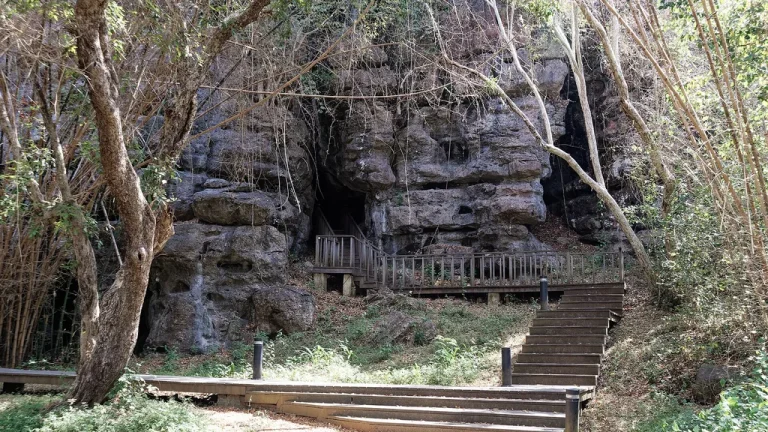
Batu Cermin Cave in Labuan Bajo
Batu Cermin ("Mirror Rock") is a limestone cave about 3–4 km from Labuan Bajo, formed from an ancient coral reef…
10 min Read