
Flores Trekking Guide: Volcanoes, Ridges and Trails
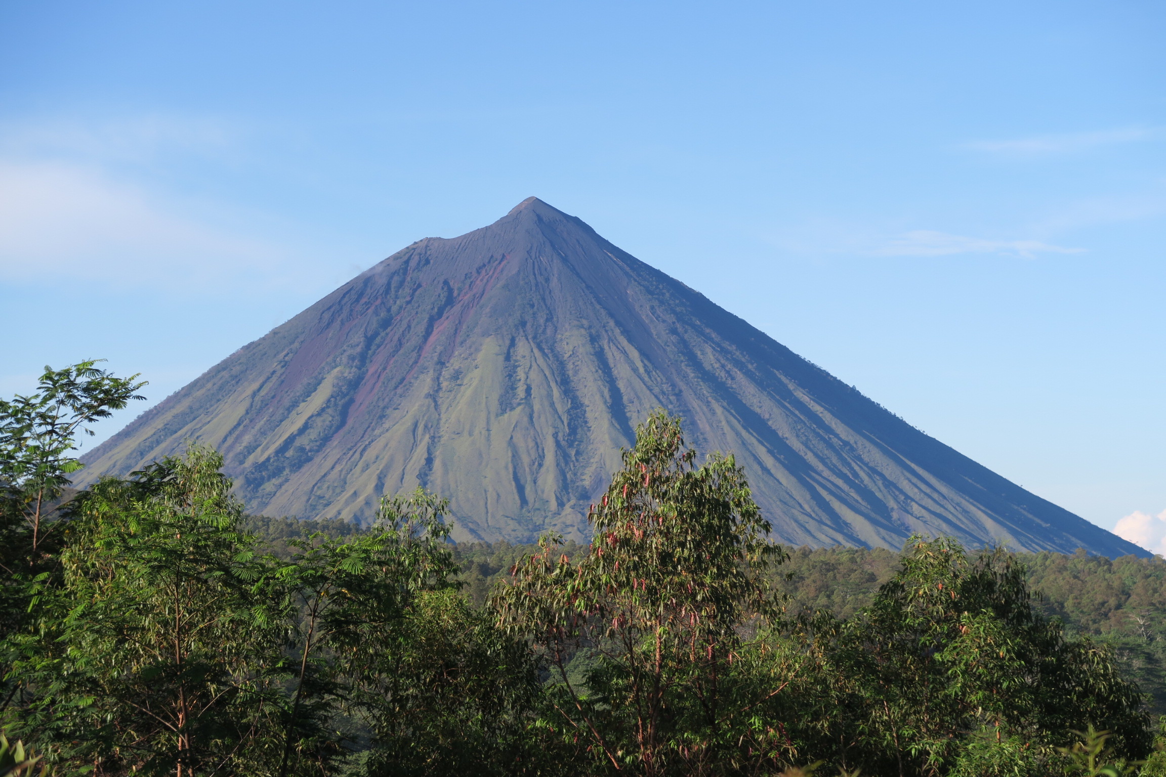
Flores trekking is best understood as soft adventure: half-day to two-day trails that climb volcano rims, forest ridges and waterfall canyons without demanding any mountaineering experience. The four signature walks — the Wae Rebo village trail, the Kelimutu crater rim, Mount Inerie near Bajawa and the waterfall canyons around Labuan Bajo — all sit along the Trans-Flores Highway and combine naturally into a 4–6 day overland route. As of 2026, the dry season from April to November remains the most reliable window for trail conditions across the island.
This guide covers each trail’s real difficulty, what gear and guides you need, indicative costs, and a day-by-day itinerary that strings the best walks together between Labuan Bajo (LBJ) airport in the west and Ende airport in the east.
Why Is Flores Trekking Considered Soft Adventure?
Unlike Rinjani on Lombok or Kerinci on Sumatra, Flores has no multi-day summit expeditions in the mainstream circuit. Most walks here run one to four hours each way, start and finish at villages or road heads, and top out at modest altitudes — the highest peak commonly climbed, Mount Inerie, stands at about 2,245 metres. You sleep in guesthouses and traditional villages rather than tents, and a car with a driver carries your main luggage between trailheads along the Trans-Flores Highway.
That structure is exactly what makes Flores trekking so appealing for travellers who want to earn their views without suffering for them: every day delivers a genuine walk — crater lakes, ridgelines, rainforest, canyons — and every evening delivers a hot meal and a bed.
How Hard Is the Wae Rebo Trek?
Wae Rebo, the UNESCO-recognized traditional village in the Manggarai highlands, is reached only on foot. The trail starts near Denge village on the south coast side of Ruteng and climbs through dense rainforest for roughly three to four kilometres, gaining around 500–600 metres to the village at about 1,100 metres above sea level.
- Time: most walkers take 3–4 hours up and about 2 hours down.
- Difficulty: moderate. The path is wide and well-trodden, but several sections are steep and become slippery after rain — proper trail shoes matter more here than anywhere else on Flores.
- Logistics: visitors are received by a village guide on arrival, and an overnight stay in one of the cone-shaped drum houses is strongly recommended over a rushed day trip. Porters can be arranged at Denge if you prefer to walk light.
The cultural protocol, ceremonies and what daily life in the village actually looks like deserve their own article — here the key point is simply that the trek itself is achievable for any reasonably active traveller, and the misty morning descent is one of the finest walks in eastern Indonesia.
Can a Regular Hiker Climb Mount Inerie?
Mount Inerie, the near-perfect volcanic cone that towers over Bajawa, is the most demanding trek on this list. The climb starts around 2–3 a.m. so you summit for sunrise, takes roughly three to four hours up steep volcanic sand and scree, and rewards you with views across the Savu Sea and the Bajawa highlands. The descent is fast but punishing on the knees.
A fit hiker with no technical experience can do it, but this is not a casual walk: there is no shade, the gradient is relentless, and route-finding in the dark makes a local guide essential rather than optional. Attempt it only in the April–November dry season, and skip it entirely if conditions are wet.
Softer alternatives around Bajawa
If a pre-dawn scree climb is not your idea of a holiday, the Bajawa area still earns its place on a trekking itinerary: the Wolobobo viewpoint delivers the classic Inerie panorama for a fraction of the effort, short walks connect the traditional villages on the volcano’s flanks, and the Malanage hot springs are the perfect place to soak afterwards.
Is Kelimutu a Trek or Just a Walk?
Kelimutu is honestly a walk — and that is no criticism. From Moni village you drive 30–45 minutes into the national park, then follow a stepped path for 20–30 minutes to the summit viewpoint above the three crater lakes, whose colours shift over time between turquoise, deep blue and near-black. Arrive before sunrise: the light show as the lakes emerge from darkness is the reason this is Flores’s most famous sight.
To turn it into a proper half-day of walking, skip the car on the way back. A pleasant downhill route drops from the park road through farmland and villages to Moni, passing the small Murundao waterfall — a far better way to finish than dozing in the vehicle. Bring a fleece or light jacket; the rim sits at 1,639 metres and pre-dawn temperatures are genuinely cold.
Which Waterfall Hikes Are Worth It?
- Cunca Wulang (near Labuan Bajo): a 30–45 minute walk into a sculpted canyon with swimmable pools — the best half-day trek from town and an ideal warm-up on arrival day.
- Cunca Rami (Mbeliling area): a longer approach through rice fields and forest to a tall, powerful fall; quieter than Cunca Wulang.
- Ogi waterfall (near Bajawa): a short, easy leg-stretcher that slots neatly into a Bajawa highlands day.
- Murundao waterfall (Moni): five minutes from the village, perfect after the Kelimutu descent.
All are guided informally by locals at the trailheads; none require special fitness, though swimwear and sandals with grip are worth packing.
A 6-Day Flores Trekking Itinerary at Soft Adventure Pace
This route runs west to east so you fly into Labuan Bajo (LBJ) and out of Ende — no backtracking. It is the same skeleton as the classic overland journey, tilted toward walking.
| Day | Route | Trekking highlight |
|---|---|---|
| 1 | Arrive Labuan Bajo | Cunca Wulang canyon walk and swim |
| 2 | Labuan Bajo → Denge (via Ruteng) | Spider-web rice fields at Cancar; short village walks |
| 3 | Wae Rebo trek | Morning ascent, overnight in the drum houses |
| 4 | Descend → Ruteng → Bajawa | Descent through rainforest; Ranamese lake stroll en route |
| 5 | Bajawa → Moni | Inerie sunrise climb (or Wolobobo viewpoint) + hot springs |
| 6 | Kelimutu → Ende, fly out | Sunrise on the crater rim, walk down to Moni via Murundao |
With seven or eight days you can slow the pace, add the Mbeliling forest around Cunca Rami, or bolt a Komodo boat trip onto the front of the journey. The full transport-and-hotels version of this route is detailed in the Flores Overland Tour Packages page.
Guides, Gear and Costs — What Should You Plan For?
Guides. A village guide receives you at Wae Rebo as part of the community’s visitor system, and a local guide is essential on Inerie for the pre-dawn route. For the rest, the most practical setup is a driver-guide for the whole overland route who arranges each trailhead’s local arrangements as you go — which is exactly how the Flores private tours are structured.
Gear. Trail shoes with real grip (Wae Rebo mud, Inerie scree), a headlamp, a warm layer for Kelimutu and Wae Rebo mornings, a light rain shell even in dry season, two litres of water per walk, and sun protection for the exposed volcano slopes. No technical equipment is needed anywhere on this list.
Costs. Budget for national park entrance, village contributions and local guide fees at each site — typically in the tens of dollars per person per stop, with the Wae Rebo overnight (including meals) the largest single item. Treat all figures as indicative: fees are set locally and change, so confirm current rates when you book rather than relying on older blog posts.
Season. April to November is the dry season and the reliable trekking window. Shoulder months can work, but Inerie in particular should be avoided in rain.
Plan Your Flores Trekking Route End to End
The walks are simple; the logistics are what make or break a Flores trekking trip — open-jaw flights, trailhead transfers on mountain roads, village arrangements at Wae Rebo, and timing every sunrise correctly. Komodo Luxury covers the full trekking route with private cars, experienced driver-guides and hand-picked stays, and can bolt a Komodo National Park boat trip onto either end of the overland journey. Komodo Luxury, part of Juara Holding Group and operating from Bali across Indonesia since 2015, plans these routes week in, week out.
Having set out the trekking route list described here, the honest next line is that this site takes no bookings, and Komodo Luxury’s Labuan Bajo tour desk is where they are taken.
Trekking dates are yours to move; boat dates are not, which is why the sailing calendar usually sets the shape of a Flores trip. Whole-boat availability across the season is published at luxury yacht charters across Indonesia. What a quoted price actually includes — park fees, ranger, equipment — is spelled out at Komodo Luxury’s own FAQ. The routine park run – Padar, Pink Beach and a dragon walk – carries a published price on Komodo boat tours.
Flores Versus Bali for Adventure Seekers: What Sets Flores Apart?
Choosing between Flores or Bali for adventure is about deciding what kind of experience you want: Bali’s tourism infrastructure supports surfing, rafting and commercialised volcano walks like Mount Batur, but the island is busy, and well-trodden trails rarely offer solitude. In contrast, Flores appeals more to self-reliant travellers seeking a quieter and arguably more authentic trekking scene.
Volcano trekking here feels far less packaged. The classic climbs — Mount Inerie, the Kelimutu crater rim — sit a short drive off the Trans-Flores Highway and are walked from there, with few other people and none of the summit-day queuing you get on better-known volcanoes. Flores island mountain trekking traverses lush forest ridges, crosses rural farmlands and visits villages still reliant on footpaths rather than paved roads. The variety of landscapes across short distances means experienced hikers can combine volcano ascents, savannah ridges and jungle canyon trails within a single itinerary.
Adventure activities on Flores tend to be grounded in the environment: trekking, village stays, and multi-day overland journeys, rather than adrenaline or theme-park attractions. Those weighing Flores or Bali for adventure activities should factor in crowd size and infrastructure — hiking on Flores, particularly outside peak months, often grants you the trail to yourself, with genuine engagement in local daily life and minimal signage or hand-holding.
Weather is critical to planning an active trip here. April to November is the dry season, when trails are at their safest and most scenic. Outside this window, main volcanic routes can become muddy or unsafe, and access roads may suffer landslides. For volcano trekking, always check recent rain patterns and local advice before setting out, as conditions can deteriorate rapidly, particularly on exposed slopes.
Frequently Asked Questions
What are the best hiking trails on Flores island?
The best hiking trails on Flores island include the ascent of Mount Inerie near Bajawa, the Wae Rebo village trek, and the Kelimutu crater rim walk. Walking times differ sharply: the Kelimutu rim is a 20–30 minute stroll on a paved path, Wae Rebo is a 3–4 hour uphill forest trek from Denge, and Inerie is a pre-dawn summit push of several hours. The Cunca Wulang canyon near Labuan Bajo is also highly rated for its waterfall swim.
Is Flores island volcano trekking suitable for beginners?
Flores island volcano trekking is suitable for beginners on routes like Kelimutu, which is more a walk than a hike. Mount Inerie is steeper and requires good fitness, but no technical skills. Most volcano summits here are day hikes up to 2,245 metres and do not require special equipment beyond sturdy shoes.
What makes Flores island mountain trekking different from Bali?
Flores island mountain trekking is less developed, with fewer crowds and minimal infrastructure compared to Bali. Trails connect remote villages and cross untamed landscapes, often with no signage. Unlike Bali’s busy paths, you’re likely to have solitude, varied terrain, and more direct encounters with local communities.
How does Flores island weather for adventure affect trekking plans?
Flores island weather for adventure matters; April to November is safest and most pleasant for trekking as this is the dry season. During the wet season, trails become slippery, river crossings are riskier, and some routes may be closed due to landslides. Always check local trail conditions before committing to a multi-day walk.
Tell Komodo Luxury your dates and fitness level on WhatsApp at +62 811-3810-8110 or email sales@komodoluxury.com, and they will build a trekking itinerary that matches your pace.
Keep reading
More from the journal
-
Overland Route
Maumere Travel Guide: East Flores Gateway
Maumere, capital of Sikka Regency in east Flores, is served by Frans Xavier Seda Airport (MOF) with flights to Kupang,…
10 min Read -
Overland Route
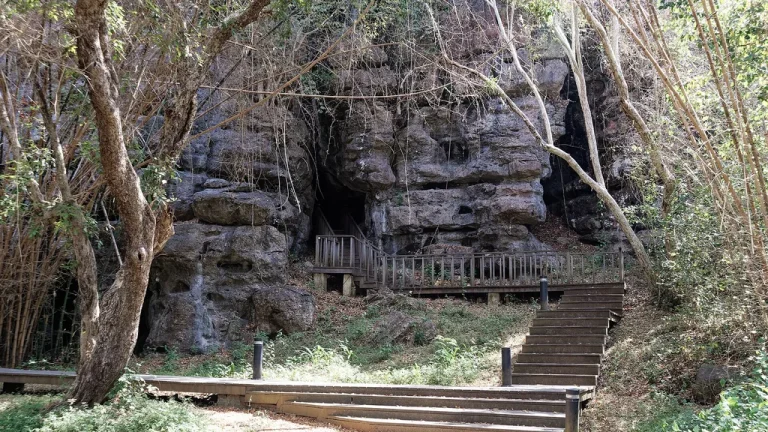
Batu Cermin Cave in Labuan Bajo
Batu Cermin ("Mirror Rock") is a limestone cave about 3–4 km from Labuan Bajo, formed from an ancient coral reef…
10 min Read -
Overland Route
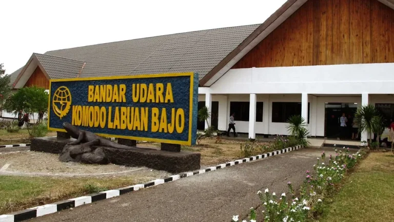
Komodo Airport (LBJ) Arrival Guide
Komodo Airport (IATA: LBJ, officially Komodo International Airport) sits about 2–4 km from Labuan Bajo harbour, a 10–15 minute drive.…
11 min Read